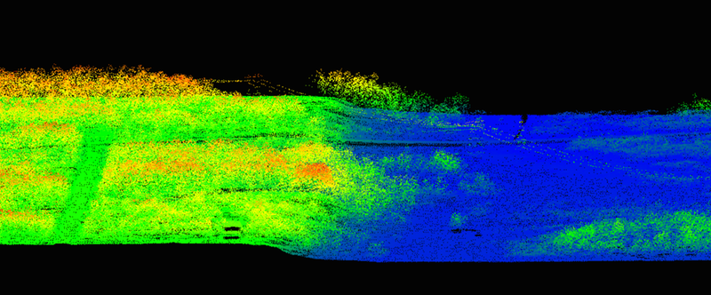
UAS LIDAR (Light Detection and Ranging) also referred to as Airborne Laser Scanning allows for highly accurate 3D representations of the ground. It is well suited for infrastructure inspection (power line inspection), forest architecture and biomass, digital terrain models (even under vegetation) and mining sites. Coming soon.